
A cold front is making its way to the area
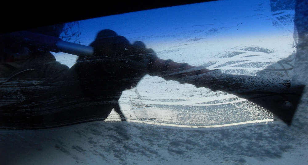
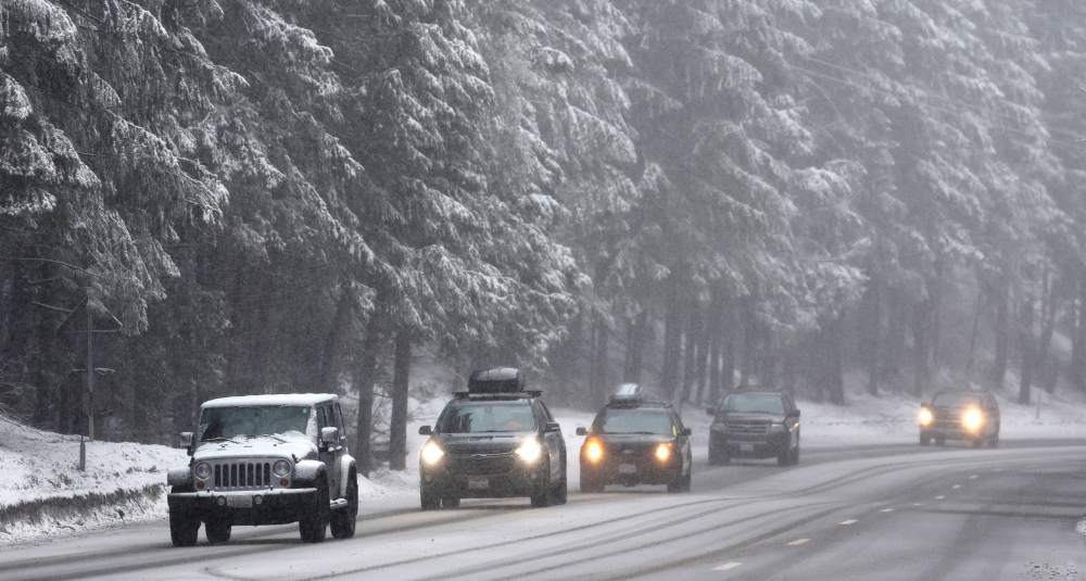
It's only the middle of October, but winter might be making an early appearance in parts of the Capital Region this weekend!
According to the National Weather Service in Albany, a strong cold front moving through the area could bring snow showers to some of the higher elevations Friday night into Saturday morning.
The best chance of seeing snowflakes will be in the Adirondacks, particularly in the northern and central portions, where some higher elevations could even see a little accumulation. Parts of the southern Adirondacks could also see a few flurries.
What about Albany, Schenectady, Troy and the surrounding areas?
Don't break out the snow shovels just yet. Snow isn't currently expected in the immediate Capital District, where temperatures should remain warm enough for rain.
Friday will bring periods of rain and gusty winds, with temperatures reaching the upper 60s before a sharp cooldown arrives Saturday. Highs will struggle to reach 50 degrees, with overnight temperatures dropping close to freezing.
The chilly weather won't stick around for long. Sunshine returns Sunday, with temperatures gradually warming back into the 60s early next week.
So while most of us probably won't see snowflakes flying this weekend, some of our neighbors to the north could get their first little taste of winter.
And it's only October!
 Proctors Turns 100 With Sara Bareilles, a New Marquee, and a Big Broadway Season
 Matchbox Twenty to Celebrate 30 years at SPAC
 Your Ultimate Capital Region Halloween Event Guide: Trunk-or-Treats, Fall Festivities & More!
 Spirit Christmas Is Opening Its First Capital Region Location
 Vote: What's Really The Most Popular Halloween Candy?